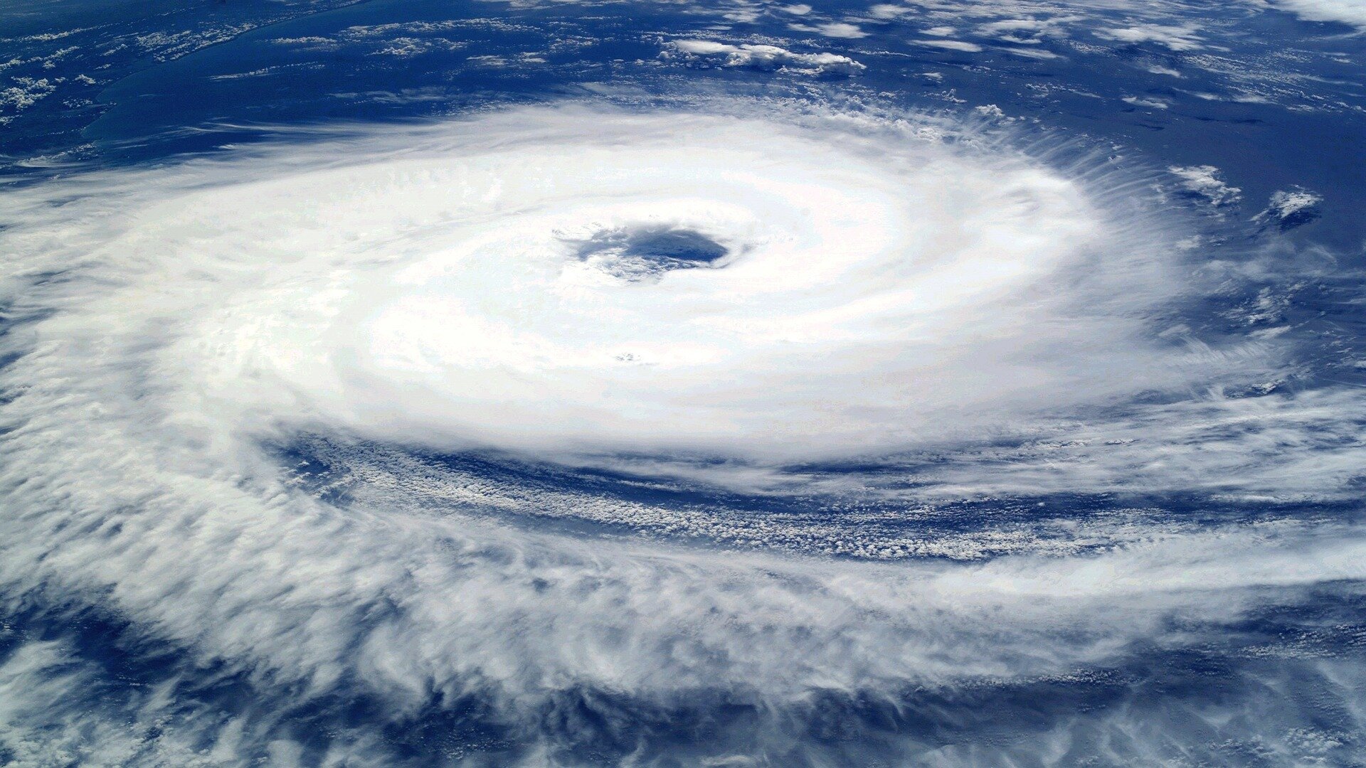
Recent projections show that Tropical Storm Helene, the latest storm brewing in the Gulf of Mexico, is heading for Florida and tracking toward the state's panhandle. An interactive map developed by Rice University's Center for Coastal Futures and Adaptive Resilience (CFAR) identifies the top hazardous polluters in the storm's projected path.
"As we unfortunately know from previous storms, for people living near the biggest polluters in Helene's path, the real disaster may come after the storm hits," said CFAR co-director James Elliott, department chair and the David W. Leebron Professor of Sociology. The storm is currently projected to make landfall as a Category 3 hurricane somewhere between the Florida Panhandle and the Peninsula of Florida, where numerous flood-prone polluters currently operate.
"This interactive map allows people to see what facilities dealing with substances hazardous to public health are in the path of the storm," said CFAR co-director Dominic Boyer, a professor of anthropology at Rice. "We hope that having this information can help empower residents in the path of the storm to keep themselves safe from toxins, which could be mobilized by wind and flooding."