- World’s rivers faced driest year in three decades in 2023, UN report says
- Shares of generator maker Generac soar, insurance stocks fall as Hurricane Milton intensifies
- Mike Johnson won't commit to bringing House back before the election for more hurricane relief
- Modeling system could enable future generations of self-sensing materials
- Study identifies key molecular step for division of damaged mitochondria
What do you believe is the single most important factor driving up the cost of living in Nigeria?

Hurricane Helene drone flight breaks records for data collection and flying time
As Hurricane Helene developed in the Gulf of Mexico, NOAA researchers gathered critical data from the sea and sky to better understand tropical cyclones and support the National Hurricane Center forecasters. This real time data gives meteorologists a clearer picture of the storm environment and structure, reducing forecast uncertainty.
Researchers from NOAA's Atlantic Oceanographic & Meteorological Laboratory (AOML) and University of Miami Cooperative Institute of Marine & Atmospheric Studies supported a series of NOAA Hurricane Hunter missions on September 25–26, 2024.
In addition to operational radar and dropsonde data, scientists are experimenting with emerging technologies like the Black Swift S0 drone, a small uncrewed aircraft system (sUAS), which gathers atmospheric data from the storm's lowest levels, which were not previously accessible.
The sUAS is launched from the belly of the P-3, and then controlled remotely as it flies into the lower levels of the storm, allowing scientists to sample the boundary layer. This describes the area where the atmosphere meets the ocean, and the conditions are too turbulent for crewed aircraft to fly.
On the flights into Hurricane Helene, the Black Swift S0 broke new records in flight duration and communication distance. After deployment, the S0 remained aloft for a total of 105 minutes, with a maximum range of 169 nautical miles, reporting data to researchers for the duration of its flight.

- October 7, 2024
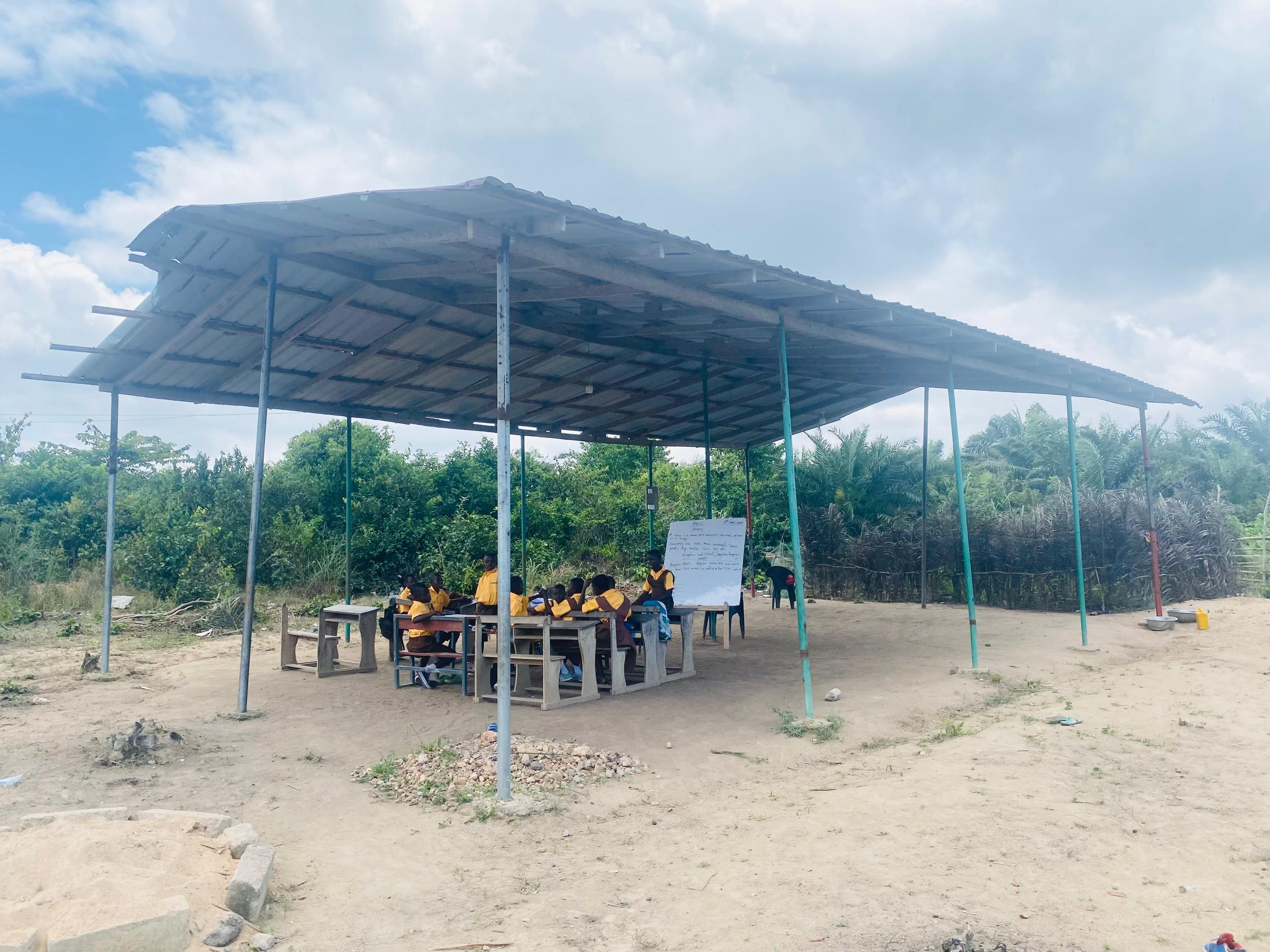
Ampatano M/A Basic School appeals for classroom blocks


- October 5, 2024
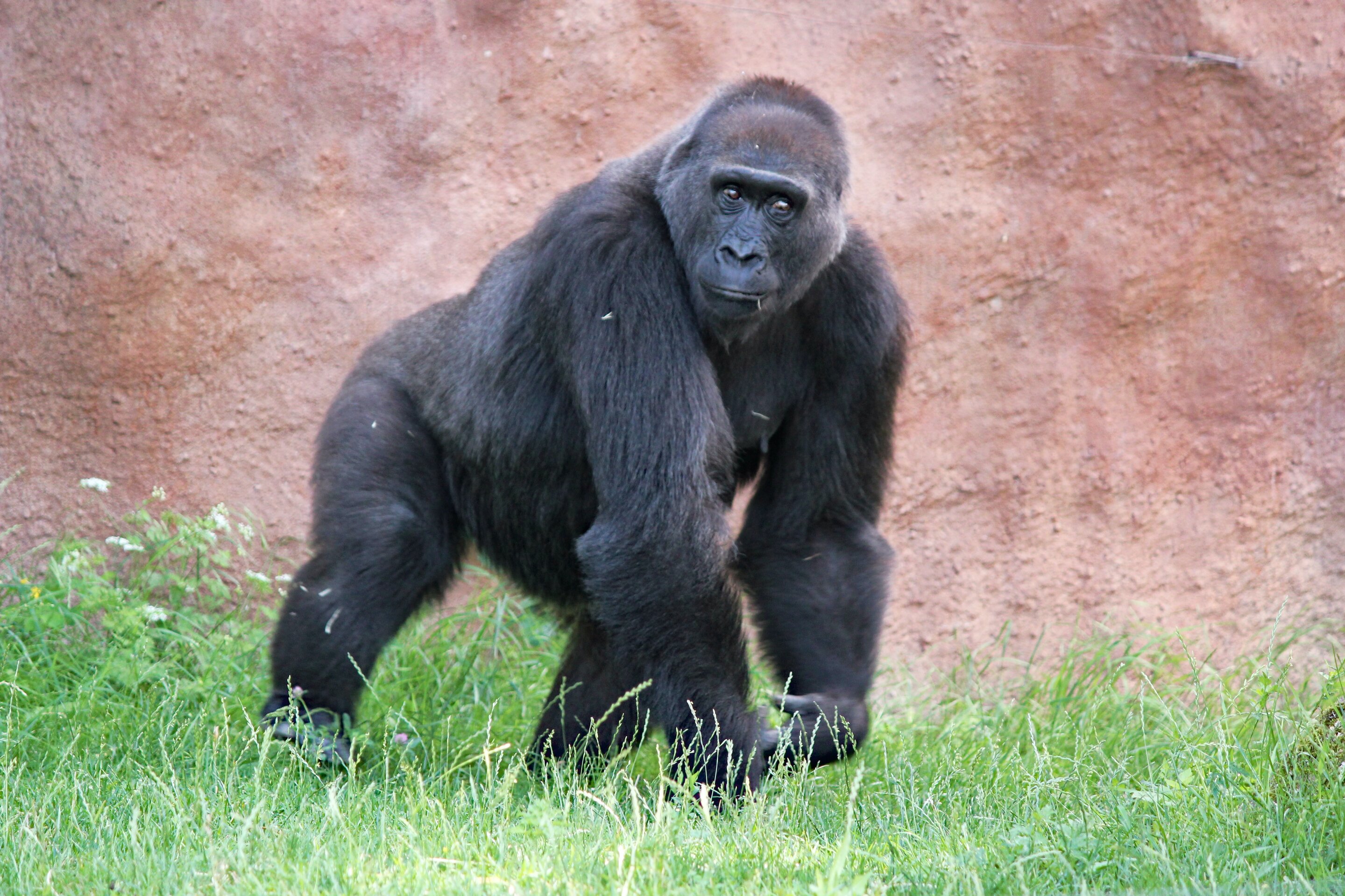
The darker side of human rights for great apes
Subscribe to our mailing list to get the new updates!

Subscribe our newsletter to stay updated
Thank you for subscribing!


