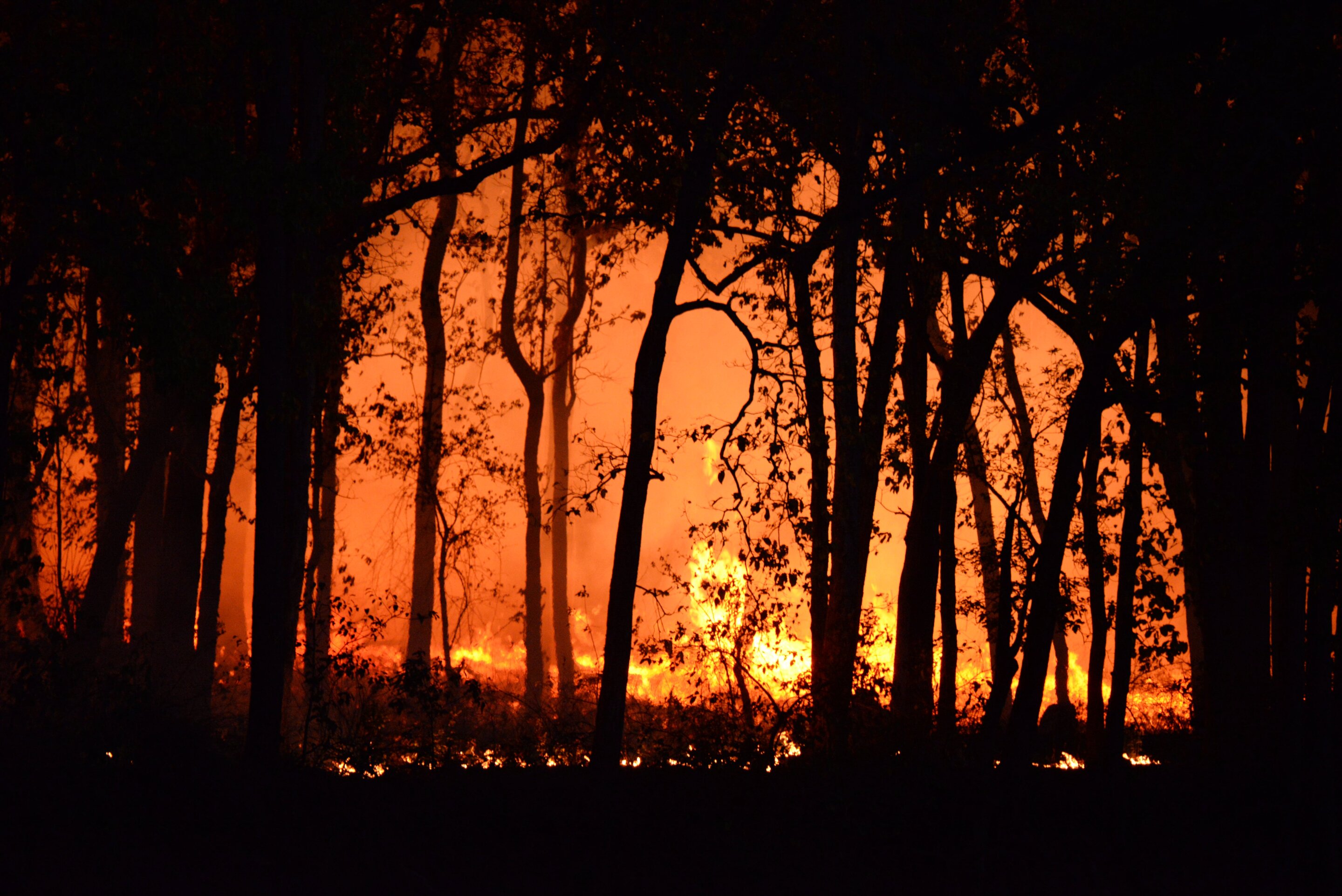
Amid an outbreak of recent wildfires in California, Google announced a commitment to spend $13 million to improve satellite imaging to help track and detect wildfires, starting as early as next year.
FireSat, a constellation of more than 50 satellites, will be able to detect wildfires as small as the size of a classroom, about 16 by 16 feet, and the first satellite will launch in early 2025, the media giant announced Monday. Firefighting authorities currently rely on satellite imagery that detects wildfires but only when they reach about the size of a football field, or more than an acre.
"We realized that if we can pair satellites with machine learning and artificial intelligence, it was the perfect platform to generate real-time operational intelligence on fires," Christopher Van Arsdale, who leads the Google Research Climate & Energy group and is chairman of the Earth Fire Alliance, said in a video announcement.
The initiative is being led by the Earth Fire Alliance, a nonprofit that was launched in May to create FireSat and develop wildfire datasets.
Satellite images currently might confuse clouds or a smokestack for fires, Van Arsdale said. Using machine learning, a team at Google built a camera that optimized the technology for fire detection, and the team tested it over controlled burn areas.