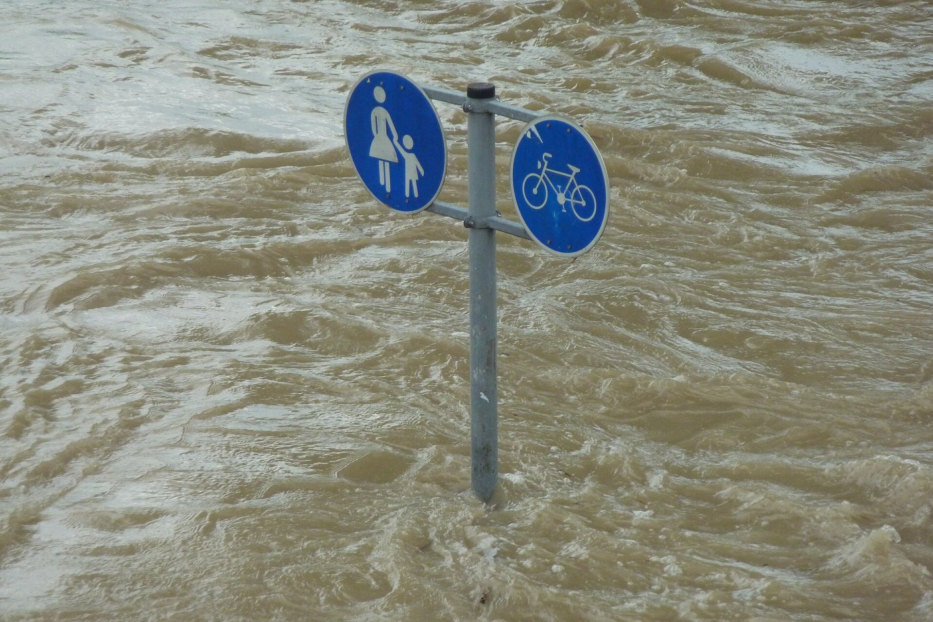
River floods are environmental hazards that can have devastating effects on human life, agriculture, and infrastructure. Hydrologic models are used to map flood hazards to better understand risk, dictate insurance costs, and inform land-use planning. However, new research being presented Wednesday at the Geological Society of America's GSA Connects 2024 meeting suggests that these models may be missing a key variable that could underestimate risk.
Channel conveyance—or the volume of water a river channel can hold in its banks—is calculated by measuring the depth and width of a river channel. Most hydrologic models assume that channel conveyance is constant, but this is based on periodic measurements that can be taken decades apart.
Brooke Santos, the presenter, questioned the consistency of channel conveyance and worked with the Yanites' Research Group at Indiana University (IU) to better understand the relationship between channel conveyance and flood hazards.
The team collected aerial images and used structure from motion photogrammetry to make 3D reconstructions of river landscapes before, immediately after, and six years following Typhoon Morakot, Taiwan's deadliest recorded typhoon. Santos measured channels at each interval and identified up to 10 m of sediment deposition in rivers immediately following the typhoon.
"There's a thought that flooding incises, or removes, the sediment in a channel, but we're seeing that floods actually deposit a significant amount of sediment into these channels," says Santos. "This increased sediment will impact channel conveyance because it changes the river's depth."